Discover the lake
Lake Skadar Geography: Size, Depth, Rivers and Formation
Lake Skadar is a shallow karst basin that changes size with the seasons, fed as much from below as from above. Its lowest springs lie deeper than the lake bed itself, which makes it a cryptodepression — a lake floor below sea level.
- Surface area
- 370–530 km², seasonal
- Length
- About 44 km
- Maximum depth
- Around 44 m
- Deepest spring
- 60+ m below the surface
- Shared by
- Montenegro and Albania
- Main inflow
- Morača River
- Outflow
- Bojana River to the Adriatic
Size and why it changes
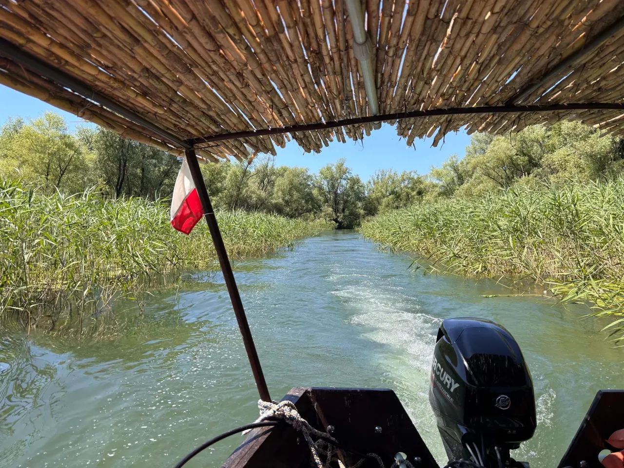
In late summer the lake shrinks to roughly 370 km²; after winter rain and snowmelt it can spread beyond 500 km², flooding the surrounding reed plains. That seasonal breathing is what keeps the wetland so productive — and why the same channel can be a lily meadow in July and open water in April.
Depth and the cryptodepression
Away from the springs the lake is surprisingly shallow, often under ten metres. Deep karst springs called oka — eyes — punch far below that, the deepest at Radus dropping more than 60 metres. Because those floors lie below sea level while the surface sits above it, Skadar is classed as a cryptodepression.
How it formed, and its rivers
The basin is a tectonic trough in soluble limestone, enlarged by dissolution and then flooded. The Morača delivers most of the surface water from the north; the Crnojevića, Orahovštica and Crmnica add to it; and underground flows from the karst plateau feed the springs. Water leaves through the Bojana at the south-eastern corner and reaches the Adriatic near Ulcinj.
A shared, protected lake
Roughly two thirds of the lake is Montenegrin and one third Albanian. Montenegro declared its part a national park in 1983 and the wetland gained Ramsar status in 1996; Albania protects its side as a managed nature reserve.
Plan your day on the water
Private boat tours from Restaurant Savina Luka in Rijeka Crnojevića — your group only, free private parking, swim stop included in season.
Frequently asked questions
How deep is Lake Skadar?
Mostly under 10 m, with a maximum around 44 m and karst springs dropping past 60 m below the surface.
Is it the largest lake in the Balkans?
Yes, by surface area it is the largest in Southern Europe and the Balkans.
Which rivers feed it?
Mainly the Morača, plus the Crnojevića, Orahovštica and Crmnica. The Bojana drains it to the Adriatic.